



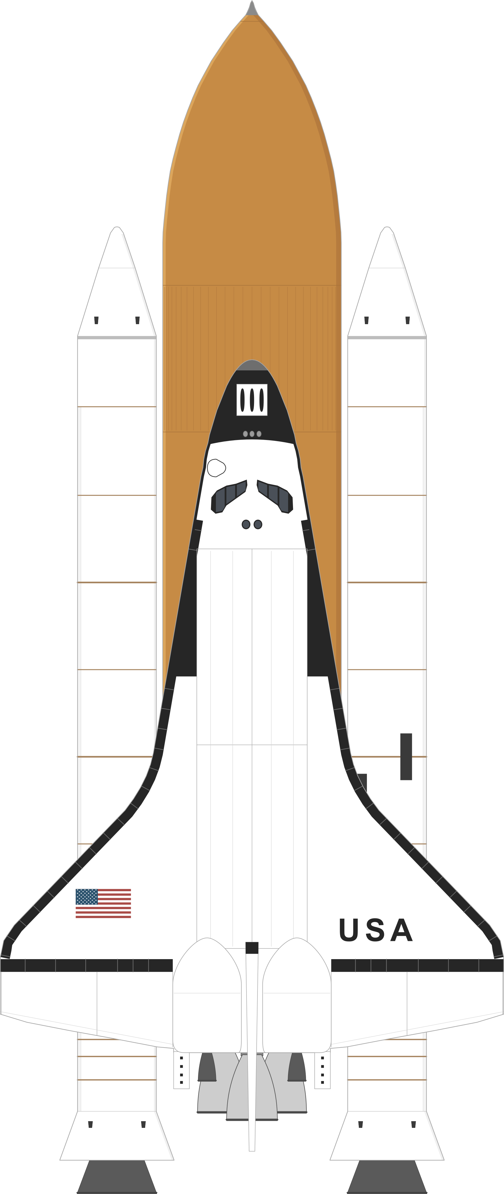
Space Shuttle Endeavour flew STS-99, the Shuttle Radar Topography Mission, carrying a radar antenna on a 60-meter mast to map Earth's land surface in 3D. The 11-day flight produced the most complete high-resolution topographic dataset of Earth to date.
- Outcome
- Success
- Orbit
- LEO
- Low Earth orbit
- Payload to orbit
- 14.3 T
- Flight
- 97th
- of 135 Space Shuttle flights
- Date and time
- 11 February 2000, 17:43 UTC
- Rocket
- Space Shuttle
- Builder
- Rockwell / Martin Marietta / Thiokol
- Launch site
- Launch Complex 39A, Kennedy Space Center, FL, USA
- Payload
- Earth Science
- International designator
- 2000-010
- Launches in 2000
- 11th of 85
See it in orbit
Space Atlas shows the satellites and rocket stages from this launch in 3D.
 View satellites in Space Atlas